


25 km | 31 km-effort
Doische: Scopri i migliori percorsi: 175 percorsi a piedi, 21 percorsi in bicicletta o MTB e 2 percorsi a cavallo. Tutti questi percorsi, itinerari e attività outdoor sono disponibili nelle nostre app SityTrail per smartphone e tablet.

Marcia


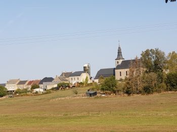
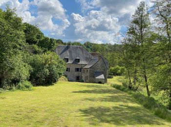
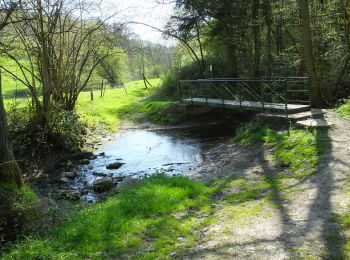
• Soulme – Hermeton-sur-Meuse – Gochenée – Vodelée – Soulme La vallée de l’Hermeton est restée bien longtemps une bell...

Marcia
• Soulme – Hermeton-sur-Meuse – Gochenée – Vodelée – Soulme La vallée de l’Hermeton est restée bien longtemps une bell...
Marcia
• Details sur TraceGPS.com http://www.tracegps.com/fr/parcours/circuit5096.htm
Marcia
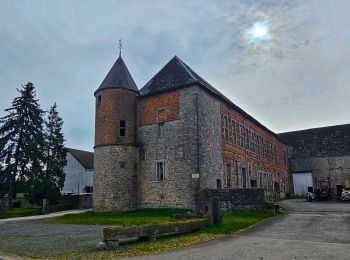
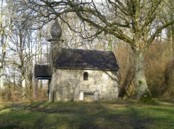
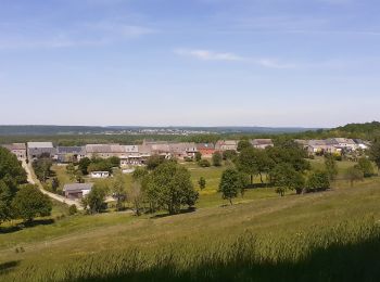
• Le village de VODELÉE fut, dans la région, un haut lieu de l'exploitation du marbre en raison de la présence de cinq ...
Marcia

Marcia
Marcia
Marcia
Marcia
A piedi
Marcia

Marcia
Marcia

A piedi

A piedi
Marcia
Marcia
Mountainbike
A piedi

A piedi
20 percorsi visualizzati su 205
Applicazione GPS da escursionismo GRATUITA
 SityTrail
IGN / Istituti geografici
SityTrail World
Il mondo è tuo