


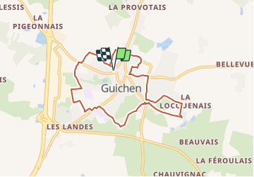

5,2 km | 6,1 km-effort

Tous les sentiers balisés d’Europe PRO


Applicazione GPS da escursionismo GRATUITA
 SityTrail
IGN / Istituti geografici
SityTrail World
Il mondo è tuo
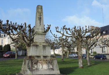
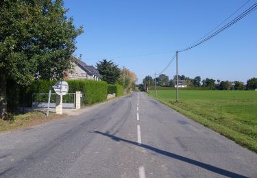
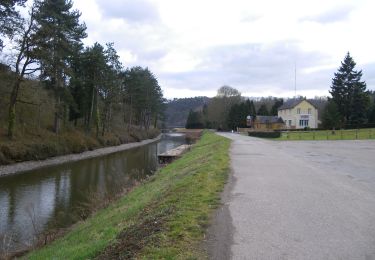
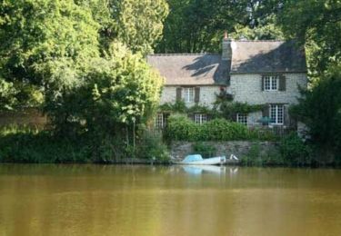
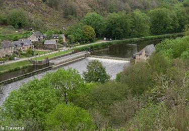
Percorso A piedi di 7,7 km da scoprire a Bretagna, Ille-et-Vilaine, Guichen. Questo percorso è proposto da SityTrail - itinéraires balisés pédestres.
Trail created by Commune de Guichen.


A piedi
A piedi
A piedi
A piedi
A piedi
A piedi
Marcia

Marcia
Marcia