


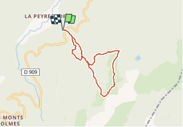

15.3 km | 31 km-effort

User


FREE GPS app for hiking
 SityTrail
IGN / Geographical institutes
SityTrail World
The world is yours!
Trail Snowshoes of 7.2 km to be discovered at Occitania, Ariège, Montferrier. This trail is proposed by j2c11.
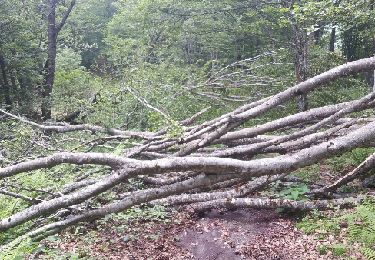
Belle rando en grande partie dans les bois.
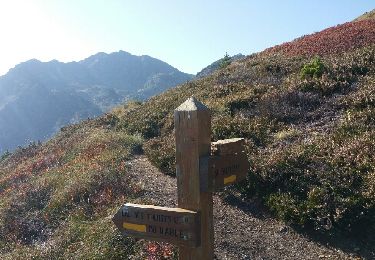
Le retour est en "hors piste" pour éviter de prendre le chemin de montée.
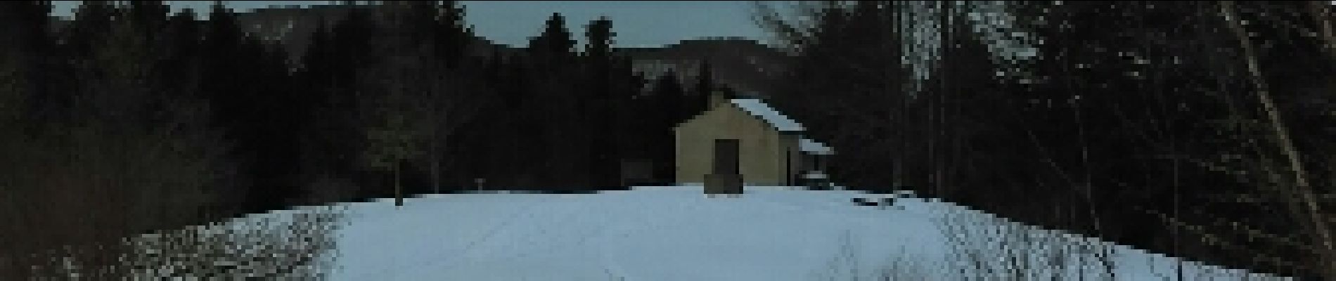
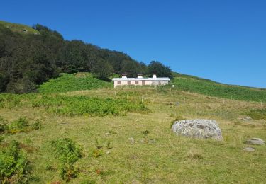
La cabane du vacher nous a juste permis de sortir les bancs au soleil, car l'intérieur est vraiment très sale .
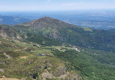
Bel enneigement raquettes du début à la fin après les récentes chutes.Des traces de skieurs qui ont du s'éclater au dessus de Riplemonche.Belle vue sur Lavelanet, Montségur du belvédère de Planas.


Walking

Walking

Walking

Walking
Walking
Walking
Walking
Walking

Mountain bike