


9 km | 12 km-effort
Rendeux: Ontdek de beste tochten: 19 te voet, 143 stappen, 2 noords wandelen, 3 lopen en 2 trail. Al deze tochten, trajecten, routes en outdoor activiteiten zijn beschikbaar in onze SityTrail-apps voor smartphones en tablets.
Stappen


Stappen
Stappen
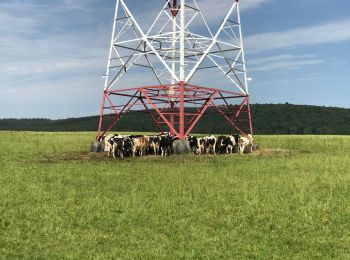
• heel mooi

Stappen
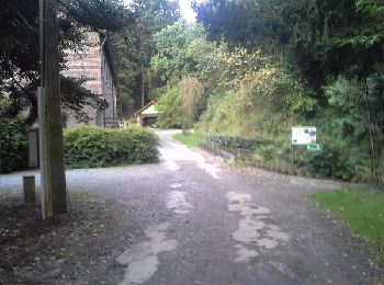
• La Maison du Tourisme du Pays d'Ourthe et Aisne a le plaisir de vous présenter ce circuit thématique, orienté autour ...
Stappen

Stappen
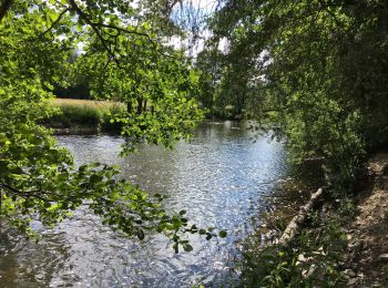
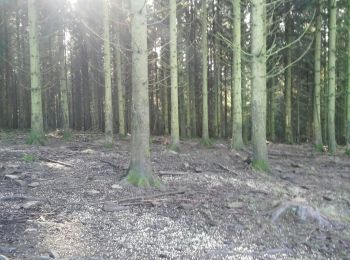
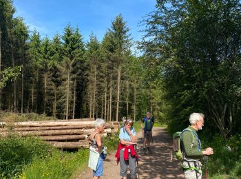
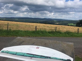
• très beau parcours forestier et campagnard à refaire
Stappen
Stappen
Stappen
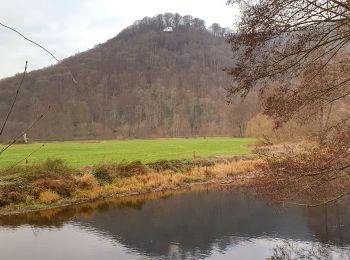
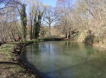
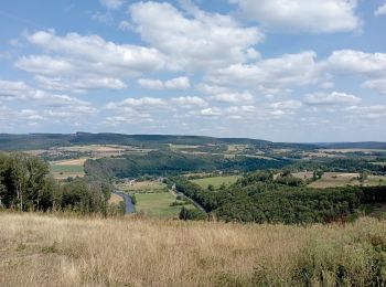
• Cette superbe randonnée au Pays d'Ourthe et Aisne vous fera découvrir de jolies vues ainsi que des paysages diversi...
Stappen
• très belle
Stappen
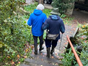
• Boucle
Stappen
Stappen
Stappen
•
Stappen
Stappen
Stappen
Stappen
Stappen
Stappen
20 tochten weergegeven op 169
Gratisgps-wandelapplicatie
 SityTrail
IGN / Geografische instituten
SityTrail World
De wereld gaat voor u open