


8,1 km | 11,6 km-effort
Céreste: Ontdek de beste tochten: 1 te voet en 42 stappen. Al deze tochten, trajecten, routes en outdoor activiteiten zijn beschikbaar in onze SityTrail-apps voor smartphones en tablets.
Stappen


Stappen
Stappen
Stappen
Stappen

Stappen
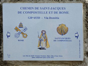
• ALTA-07-N°0306F27-GR653D
Stappen
Stappen
Stappen
• boucle
Stappen

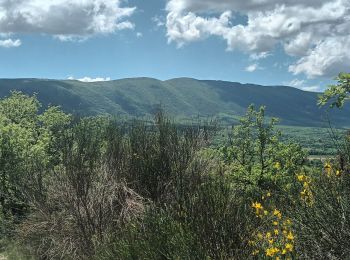
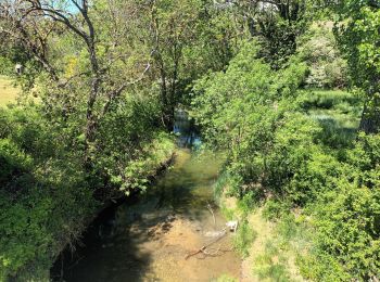
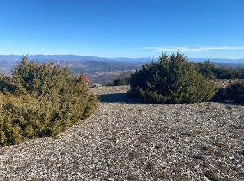
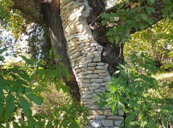
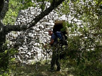
Te voet

Stappen
Stappen
Stappen
Stappen
Stappen
• More information on GPStracks.nl : http://www.gpstracks.nl
Stappen
Stappen
Stappen
Stappen
20 tochten weergegeven op 43
Gratisgps-wandelapplicatie
 SityTrail
IGN / Geografische instituten
SityTrail World
De wereld gaat voor u open