


13,4 km | 19 km-effort
Cornus: Ontdek de beste tochten: 2 te voet, 30 stappen en 3 lopen. Al deze tochten, trajecten, routes en outdoor activiteiten zijn beschikbaar in onze SityTrail-apps voor smartphones en tablets.

Stappen


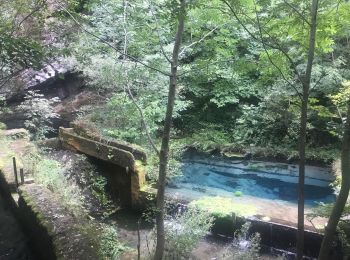
• Résurgence de la Sorgues depuis le mas Raynal et st Rome de Berlière
Stappen
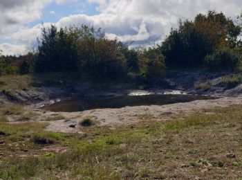
• c'est une boucle par des pistes et des sentier sont à voir beaume aven
Stappen
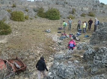
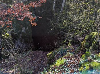
• beaux avens
Stappen
• beaux avens
Stappen

Stappen
Stappen
Stappen
Stappen
Stappen
Stappen
Stappen
Stappen
Stappen
Stappen
Stappen
Stappen
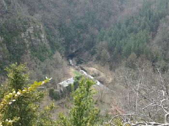
• joli point de vue
Stappen
• très belle. randonnée
Stappen
• randonnée agréable à faire mais pour descendre sur saint rome il vous fzaudra chercher le départ dans les buits qui b...
Stappen
• c'est une boucle qui suit des pistes en partie non balisées et passe aussi à travers bois pour nous conduire à des be...
20 tochten weergegeven op 35
Gratisgps-wandelapplicatie
 SityTrail
IGN / Geografische instituten
SityTrail World
De wereld gaat voor u open