


10,4 km | 13,4 km-effort
Soumagne: Ontdek de beste tochten: 120 te voet en 12 met de fiets of mountainbike. Al deze tochten, trajecten, routes en outdoor activiteiten zijn beschikbaar in onze SityTrail-apps voor smartphones en tablets.
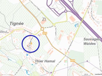
Stappen


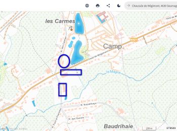
Stappen
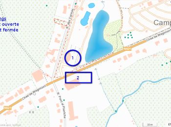
Stappen
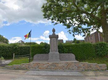
Stappen
Stappen

Stappen

Stappen
Stappen
Stappen
Stappen

Stappen
Stappen
Stappen

Stappen
Stappen
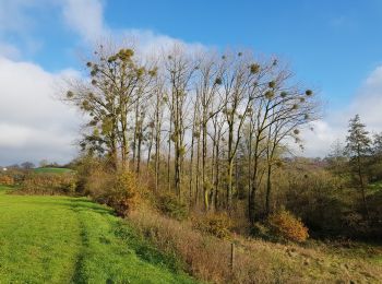
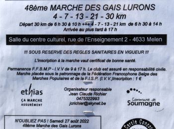
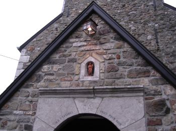
Te voet
• Trail created by Commune de Soumagne. Website: https://www.soumagne.be/index.php?pg=131
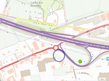
Te voet
• Trail created by Commune de Soumagne. Website: https://www.soumagne.be/index.php?pg=296
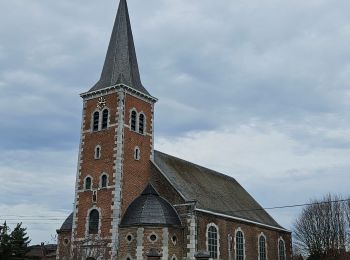
Te voet
• Trail created by Commune de Soumagne. Website: https://www.soumagne.be/index.php?pg=302
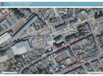
Te voet
• Trail created by Commune de Soumagne. Website: https://www.soumagne.be/index.php?pg=352
Te voet
• Trail created by Commune de Soumagne. Website: https://www.soumagne.be/index.php?pg=129
20 tochten weergegeven op 138
Gratisgps-wandelapplicatie
 SityTrail
IGN / Geografische instituten
SityTrail World
De wereld gaat voor u open