


7,4 km | 8,9 km-effort
Jemeppe-sur-Sambre: Ontdek de beste tochten: 178 te voet, 15 met de fiets of mountainbike en 9 te paard. Al deze tochten, trajecten, routes en outdoor activiteiten zijn beschikbaar in onze SityTrail-apps voor smartphones en tablets.
Stappen


Stappen
• Détails de la rando sur TraceGPS.com http://www.tracegps.com/fr/parcours/circuit12448.htm

Stappen
Stappen

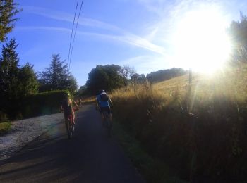
Mountainbike
•

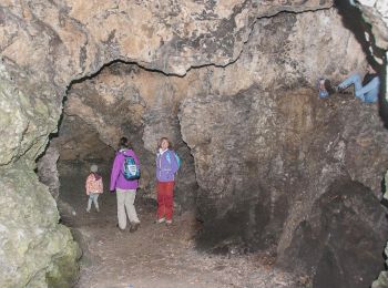
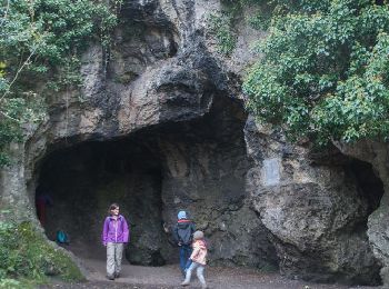
Te voet
Mountainbike

Stappen

Te voet
Stappen

Stappen
Fiets

Stappen
• Détails de la rando sur TraceGPS.com http://www.tracegps.com/fr/parcours/circuit12662.htm

Stappen
• Détails de la rando sur TraceGPS.com http://www.tracegps.com/fr/parcours/circuit12459.htm
Mountainbike

Stappen
Stappen
Stappen
Stappen
Stappen
20 tochten weergegeven op 220
Gratisgps-wandelapplicatie
 SityTrail
IGN / Geografische instituten
SityTrail World
De wereld gaat voor u open