


12,6 km | 14,3 km-effort
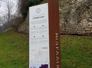
Tongeren: Ontdek de beste tochten: 132 te voet en 11 met de fiets of mountainbike. Al deze tochten, trajecten, routes en outdoor activiteiten zijn beschikbaar in onze SityTrail-apps voor smartphones en tablets.

Stappen


Stappen
Stappen
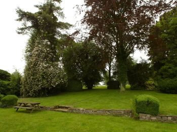
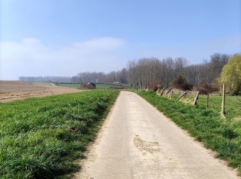
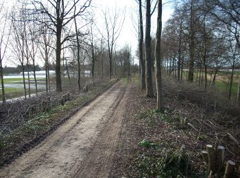
Te voet
• Trail created by Stad Tongeren. Symbol: triangle
Te voet
• Trail created by Stad Tongeren. Symbol: triangle
Te voet
• Trail created by Stad Tongeren. Symbol: triangle
Te voet
• Trail created by Stad Tongeren. Symbol: triangle
Te voet
• Trail created by Stad Tongeren. Symbol: triangle
Te voet
• Trail created by Stad Tongeren. Symbol: triangle
Te voet
• Trail created by Stad Tongeren. Symbol: triangle
Te voet
• Trail created by Stad Tongeren.
Te voet
• Trail created by Stad Tongeren.
Te voet
• Trail created by Stad Tongeren.
Te voet
• Trail created by Regionaal Landschap Haspengouw en Voeren. Symbol: arrow
Te voet
• Trail created by Regionaal Landschap Haspengouw en Voeren. Symbol: arrow
Te voet
• Symbol: aardgas
Te voet
• Trail created by Regionaal Landschap Haspengouw en Voeren. Symbol: arrow
Te voet
• Trail created by Natuurpunt. Symbol: square
Stappen

Motor
• More information on GPStracks.nl : http://www.gpstracks.nl
20 tochten weergegeven op 150
Gratisgps-wandelapplicatie
 SityTrail
IGN / Geografische instituten
SityTrail World
De wereld gaat voor u open