


8,3 km | 8,9 km-effort
Diest: Ontdek de beste tochten: 40 te voet en 7 met de fiets of mountainbike. Al deze tochten, trajecten, routes en outdoor activiteiten zijn beschikbaar in onze SityTrail-apps voor smartphones en tablets.
Te voet


• Trail created by Regionaal Landschap Noord-Hageland. Symbol: triangle
Te voet
• Trail created by Regionaal Landschap Noord-Hageland. Symbol: disk
Te voet
• Trail created by Regionaal Landschap Noord-Hageland. Symbol: rectangle
Te voet
• Trail created by Toerisme Vlaams-Brabant. Symbol: hexagon
Te voet
• Trail created by Toerisme Vlaams-Brabant. Symbol: hexagon
Te voet
• Trail created by Toerisme Vlaams-Brabant. Symbol: hexagon
Te voet
• Symbol: triangle
Te voet
• Symbol: diamond

Stappen
• More information on : http://www.wandelroutes.org
Stappen
Stappen
Te voet
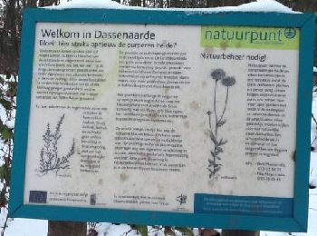
• Trail created by Regionaal Landschap Noord-Hageland. Symbol: diamond
Stappen
Stappen
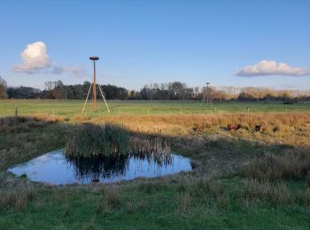
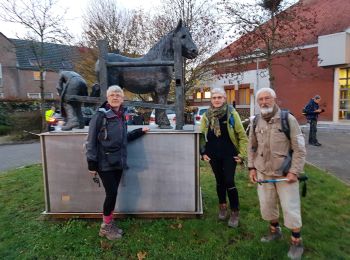
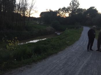
• 4 enthousiaste deelnemers die genoten van een zachte lenteavond in het Webbekoms broek met zeldzame nachtegalengezang...
Stappen

Te voet
• Trail created by Toerisme Vlaams-Brabant. Symbol: hexagon
Stappen
Stappen

Mountainbike
•

Stappen
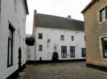
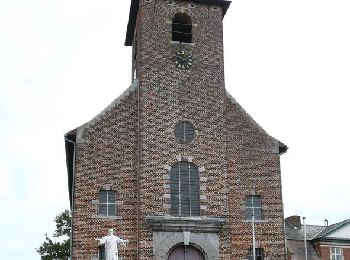
• landelijk Diest
20 tochten weergegeven op 51
Gratisgps-wandelapplicatie
 SityTrail
IGN / Geografische instituten
SityTrail World
De wereld gaat voor u open