![](/images/other/stat-length.png)
Sant Gregori, Gerona: Top van de beste wandelroutes, trajecten, tochten en wandelingen
Sant Gregori: Ontdek de beste tochten: 3 te voet. Al deze tochten, trajecten, routes en outdoor activiteiten zijn beschikbaar in onze SityTrail-apps voor smartphones en tablets.
De beste trajecten (3)
![Tocht Te voet Sant Gregori - De Sant Gregori a Santa Afra - Photo](https://media.geolcdn.com/t/350/260/ext.jpg?maxdim=2&url=https%3A%2F%2Fmedia.geolcdn.com%2Ff%2Fb89006f2-0e49-4c78-8b2a-b137f45c47a6.jpeg)
![Te voet Te voet](https://static1.geolcdn.com/sitytour/trail-icons/100.png)
Km
Te voet
![](/images/other/stat-length.png)
![](https://static1.geolcdn.com/siteimages/upload/files/1508320355ic_sort_den_pos_24dp.png)
![](https://static1.geolcdn.com/siteimages/upload/files/1508320355ic_sort_den_neg_24dp.png)
![](https://static1.geolcdn.com/siteimages/upload/files/16400158638029165_repeat_loop_refresh_sync_direction_icon.png)
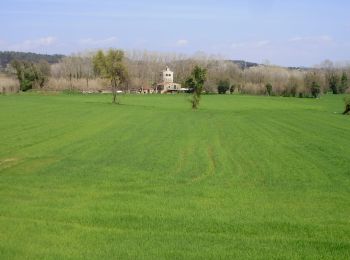
• FITXA TÈCNICALongitud: 14,95 kmTemps aproximat sense parades: 3h 45 minAltitud mínima: 90 mAltitud màxima: 206 mRuta ...
![Tocht Te voet Sant Gregori - De Sant Gregori a Sant Grau - Photo](https://media.geolcdn.com/t/350/260/ext.jpg?maxdim=2&url=https%3A%2F%2Fmedia.geolcdn.com%2Ff%2F173cf9a6-5b45-4e78-87e1-6cc6e1d37cfc.jpeg)
![Te voet Te voet](https://static1.geolcdn.com/sitytour/trail-icons/100.png)
Km
Te voet
![](/images/other/stat-length.png)
![](https://static1.geolcdn.com/siteimages/upload/files/1508320355ic_sort_den_pos_24dp.png)
![](https://static1.geolcdn.com/siteimages/upload/files/1508320355ic_sort_den_neg_24dp.png)
![](https://static1.geolcdn.com/siteimages/upload/files/16400158638029165_repeat_loop_refresh_sync_direction_icon.png)
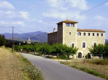
• FITXA TÈCNICA Longitud: 12,15kmTemps aproximat sense parades: 3h 50minAltitud mínima: 90mAltitud màxima: ... Website...
![Tocht Te voet Sant Gregori - Les fonts naturals de Sant Gregori - Photo](https://media.geolcdn.com/t/350/260/ext.jpg?maxdim=2&url=https%3A%2F%2Fmedia.geolcdn.com%2Ff%2Fb89006f2-0e49-4c78-8b2a-b137f45c47a6.jpeg)
![Te voet Te voet](https://static1.geolcdn.com/sitytour/trail-icons/100.png)
Km
Te voet
![](/images/other/stat-length.png)
![](https://static1.geolcdn.com/siteimages/upload/files/1508320355ic_sort_den_pos_24dp.png)
![](https://static1.geolcdn.com/siteimages/upload/files/1508320355ic_sort_den_neg_24dp.png)
![](https://static1.geolcdn.com/siteimages/upload/files/16400158638029165_repeat_loop_refresh_sync_direction_icon.png)
• FITXA TÈCNICA Longitud: 12 km Temps aproximat sense parades: 3h 30min Altitud mínima: 90m Altitud màxima: 170m Ruta ....
3 tochten weergegeven op 3
Gratisgps-wandelapplicatie