


8,6 km | 12,1 km-effort
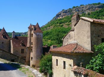
Loubressac: Ontdek de beste tochten: 34 te voet, 10 met de fiets of mountainbike en 2 te paard. Al deze tochten, trajecten, routes en outdoor activiteiten zijn beschikbaar in onze SityTrail-apps voor smartphones en tablets.
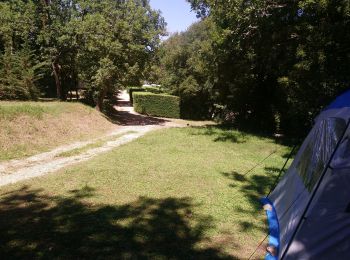
Stappen


Stappen
Stappen
Stappen
Stappen
Noords wandelen
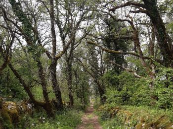
Te voet
Stappen

Stappen
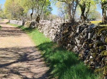
• Grande randonnée de 3h30 minimum entre Autoire et Loubressac principalement par de petits sentiers.
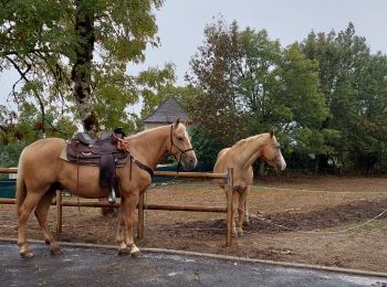
Paardrijden
Stappen
Stappen
Stappen
Stappen
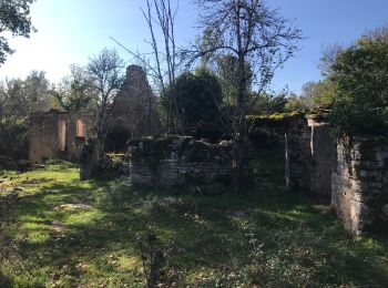
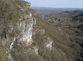
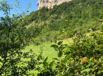
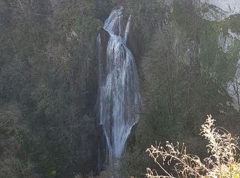
• Cascade et crêtes d'AUTOIRE
Stappen

Andere activiteiten
• Tour d'une heure et demi à proximité de Loubressac
Stappen
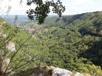
• Beautiful views from top of falaises over autoire & gorge, lovely walk along top of causse lots wildflowers & dolmen.
Stappen
• Sititrail
Stappen
• Sititrail

Mountainbike
• loubressac mayrinhac lentour
20 tochten weergegeven op 47
Gratisgps-wandelapplicatie
 SityTrail
IGN / Geografische instituten
SityTrail World
De wereld gaat voor u open