


16,1 km | 24 km-effort
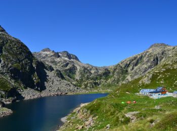
Orlu: Ontdek de beste tochten: 61 te voet en 1 met de fiets of mountainbike. Al deze tochten, trajecten, routes en outdoor activiteiten zijn beschikbaar in onze SityTrail-apps voor smartphones en tablets.
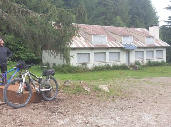
Mountainbike


Stappen
Stappen
Stappen

Stappen
Noords wandelen

Stappen
Stappen
Stappen

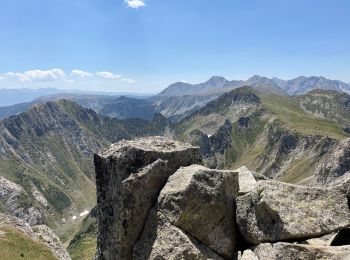
Te voet
Stappen
Stappen
Stappen

Sneeuwschoenen
• aller retour
Stappen
Stappen

Stappen
Stappen

Stappen
20 tochten weergegeven op 65
Gratisgps-wandelapplicatie
 SityTrail
IGN / Geografische instituten
SityTrail World
De wereld gaat voor u open