


8,3 km | 18,8 km-effort
Itxassou: Ontdek de beste tochten: 76 te voet en 4 met de fiets of mountainbike. Al deze tochten, trajecten, routes en outdoor activiteiten zijn beschikbaar in onze SityTrail-apps voor smartphones en tablets.

Stappen


Stappen
Stappen
Stappen
Stappen
Stappen

Stappen
Stappen

Stappen
Stappen
Stappen
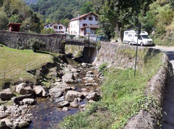
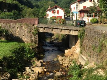
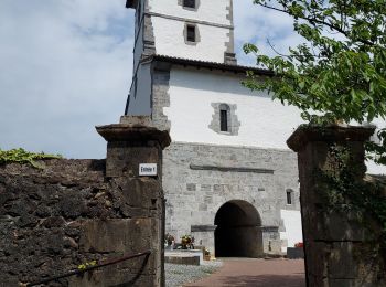
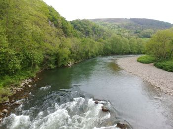
• Départ de la ville et on longe la Nive. Après une belle montée redescente en pente douce.
Stappen
Stappen
Stappen
Stappen
Stappen

Stappen
Stappen
Stappen
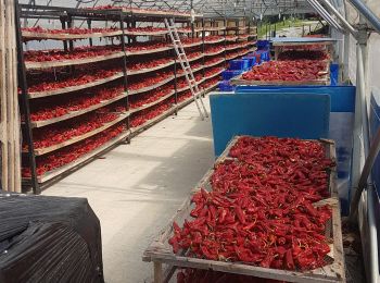
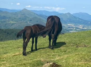
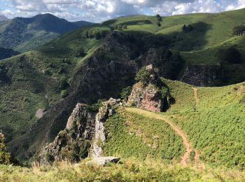
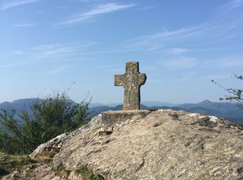
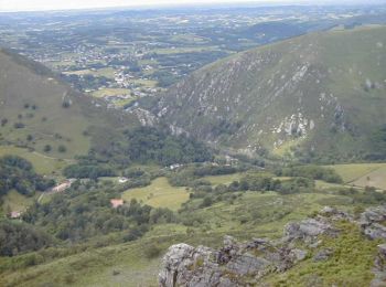
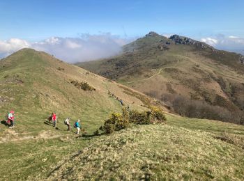
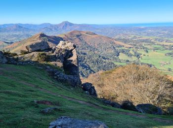
• pays basque

Stappen
20 tochten weergegeven op 88
Gratisgps-wandelapplicatie
 SityTrail
IGN / Geografische instituten
SityTrail World
De wereld gaat voor u open