


16,6 km | 0 m-effort
Mendionde: Ontdek de beste tochten: 26 te voet en 1 met de fiets of mountainbike. Al deze tochten, trajecten, routes en outdoor activiteiten zijn beschikbaar in onze SityTrail-apps voor smartphones en tablets.
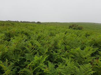
Stappen


Stappen

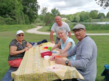
Stappen
Stappen

Stappen
Stappen
Stappen
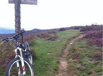
Mountainbike
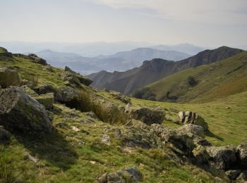
• Montée par la piste-belle trace ensuite jusqu'à Osses-chemin de st jacques pour rentrer
Stappen

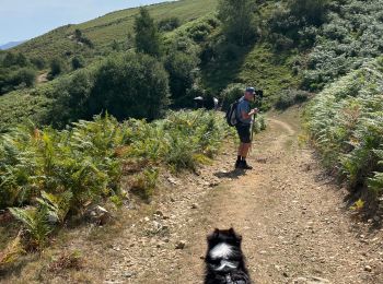
Trail
Stappen
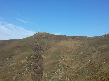
• Face nord
Stappen
Stappen
Stappen
•
Stappen
•
Stappen
•
Stappen
Stappen
Stappen
Stappen
20 tochten weergegeven op 28
Gratisgps-wandelapplicatie
 SityTrail
IGN / Geografische instituten
SityTrail World
De wereld gaat voor u open