


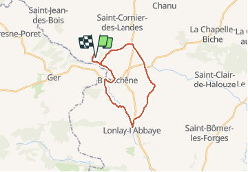

11,2 km | 14,6 km-effort


Gebruiker


Gratisgps-wandelapplicatie
 SityTrail
IGN / Geografische instituten
SityTrail World
De wereld gaat voor u open
Tocht Mountainbike van 21 km beschikbaar op Normandië, Orne, Tinchebray-Bocage. Deze tocht wordt voorgesteld door tracegps.
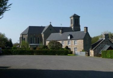
Une boucle avec majoritairement de la route et un peu de chemin. Passage à Lonlay l'Abbaye et son...abbaye (bien sûr) assez austère. La biscuiterie de Lonlay vous apportera peut être quelques bonnes odeurs à l'approche du bourg.
Stappen
Te voet
Stappen

Te voet

Stappen

Mountainbike
Mountainbike
Mountainbike
Mountainbike