


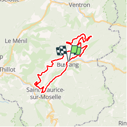


15 km | 24 km-effort

Gebruiker GUIDE


Gratisgps-wandelapplicatie
 SityTrail
IGN / Geografische instituten
SityTrail World
De wereld gaat voor u open
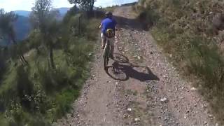
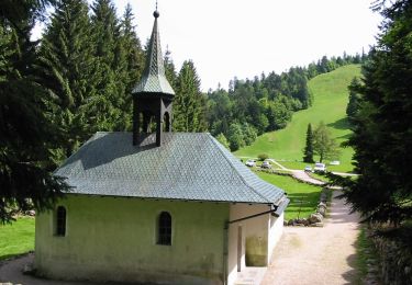
Tocht Mountainbike van 27 km beschikbaar op Grand Est, Vogezen, Bussang. Deze tocht wordt voorgesteld door pascalou73.
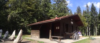
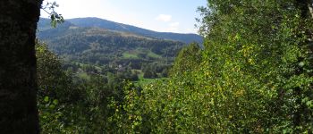
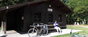
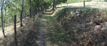
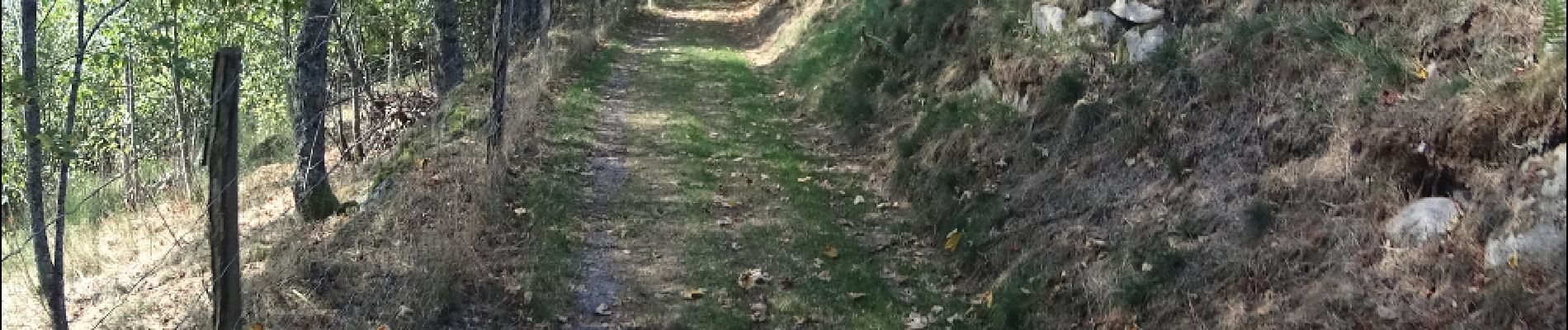
Voilà un VTT au départ du village de Bussang dans les Vosges .au départ du circuit une belle côte .La randonnée va passe par plusieurs sieurs circuit de la région le N°6 -8-7 avec le retour par l'abri du vallon la fin par la voie verte .


Stappen

Sneeuwschoenen

Stappen

Stappen

Mountainbike

Mountainbike
Stappen
Te voet
Te voet