


7,8 km | 10,5 km-effort

Gebruiker


Gratisgps-wandelapplicatie
 SityTrail
IGN / Geografische instituten
SityTrail World
De wereld gaat voor u open
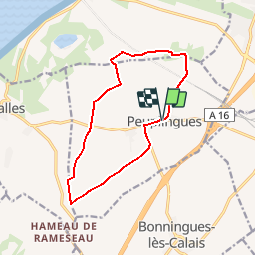
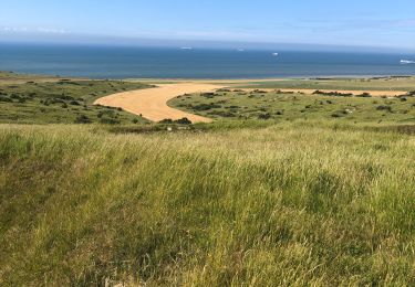
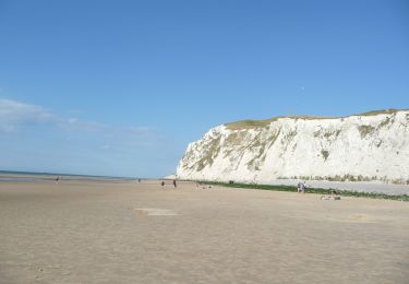
Tocht Stappen van 11,2 km beschikbaar op Hauts-de-France, Pas-de-Calais, Peuplingues. Deze tocht wordt voorgesteld door tracegps.
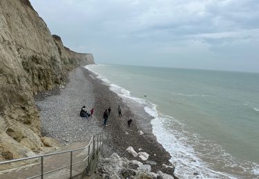
Circuit proposé par la Communauté de communes du Sud-Ouest du Calaisis. Départ de la mairie de Peuplingues. Ce circuit a été numérisé par les randonneurs du CODEPEM. Merci à Jean-Marie.


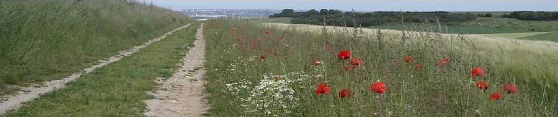
Stappen

Stappen

Stappen

Stappen
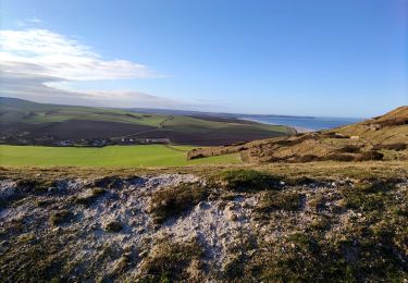
Stappen
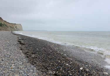
Stappen
Stappen
Stappen
Te voet