


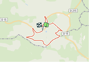

11 km | 15,4 km-effort


Gebruiker


Gratisgps-wandelapplicatie
 SityTrail
IGN / Geografische instituten
SityTrail World
De wereld gaat voor u open
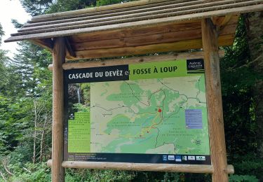
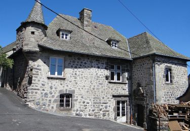
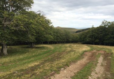
Tocht Stappen van 7,1 km beschikbaar op Occitanië, Aveyron, Laguiole. Deze tocht wordt voorgesteld door neitag61.
Passage impossible du ruisseau au Km 6 en période humide
possibilité de descendre par les pistes au km 4.5 pour rejoindre le départ
Stappen
Stappen

Stappen
Stappen

Stappen

Stappen
Te voet

Sneeuwschoenen
Stappen
uniquement en été