


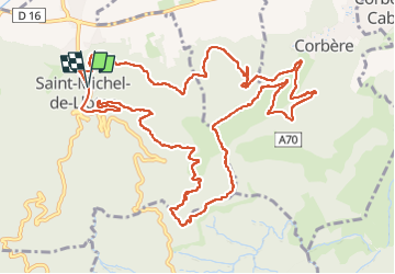

11 km | 15,3 km-effort


Gebruiker


Gratisgps-wandelapplicatie
 SityTrail
IGN / Geografische instituten
SityTrail World
De wereld gaat voor u open
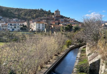
Tocht Stappen van 15,9 km beschikbaar op Occitanië, Pyrénées-Orientales, Saint-Michel-de-Llotes. Deze tocht wordt voorgesteld door jcmartin.

Stappen
Stappen
Stappen
Stappen
Stappen
Stappen
Stappen
Stappen
Stappen
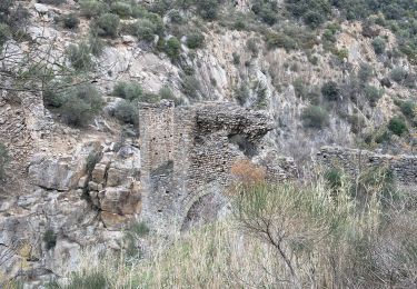
quelques km de piste au départ, et avant l'arrivée, 3 environ, puis jolie randonnée qui nous fait découvrir les menhirs, le château, et le très bel ermitage de Saint Maurice.