


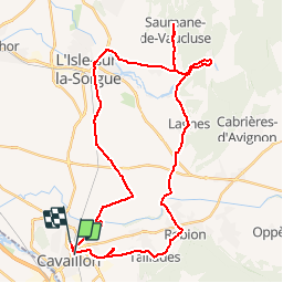


236 km | 285 km-effort

Randonnées de Vélo Loisir Provence GUIDE+


Gratisgps-wandelapplicatie
 SityTrail
IGN / Geografische instituten
SityTrail World
De wereld gaat voor u open
Tocht Fiets van 45 km beschikbaar op Provence-Alpes-Côte d'Azur, Vaucluse, Cavaillon. Deze tocht wordt voorgesteld door Vélo Loisir Provence.
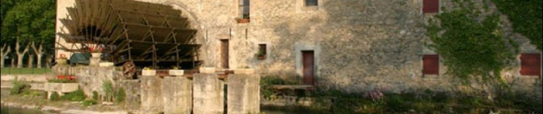
A superb itinerary which will take you from the slopes of the Petit Luberon to the Monts de Vaucluse with a stop at the absolutely unavoidable Fontaine de Vaucluse. Direction of the itinerary : Cavaillon => Les Taillades => Robion => Lagnes => Fontaine-de-Vaucluse => Saumane-de-Vaucluse => Isle-sur-la-Sorgue => Cavaillon


Fiets

Fiets

Stappen

Stappen

Stappen

Stappen

Stappen

Mountainbike
Mountainbike