


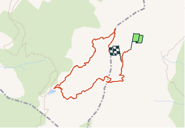

13,8 km | 33 km-effort

Gebruiker


Gratisgps-wandelapplicatie
 SityTrail
IGN / Geografische instituten
SityTrail World
De wereld gaat voor u open
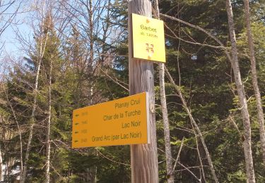
Tocht Stappen van 4,6 km beschikbaar op Auvergne-Rhône-Alpes, Savoie, La Léchère. Deze tocht wordt voorgesteld door nadd73.
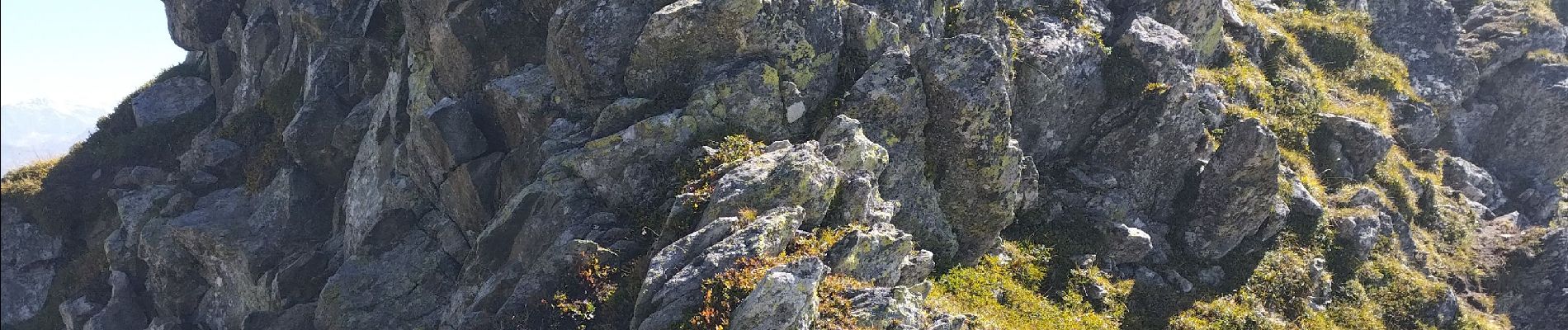
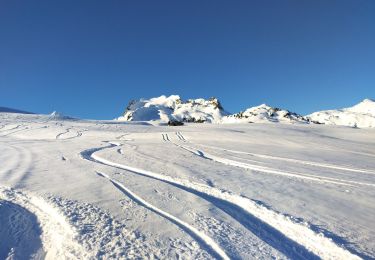
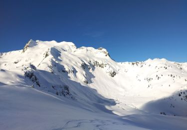
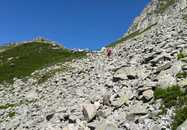
Attention cette randonnée est hors sentiers et aérienne.
La descente sous la pointe de Freydon est difficile. Un piolet peut être utile.
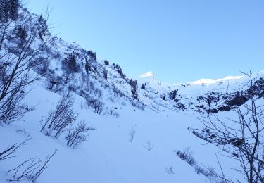
On peut poursuivre l'arête mais j'étais seule ce jour donc je n'ai pas tenté car il y a 2 passages alpins.
Le départ s'est fait d'un bivouac.


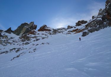
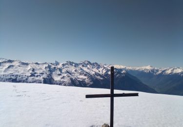
Ski randonnée
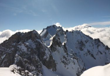
Ski randonnée
Ski randonnée
Ski randonnée
Ski randonnée
Stappen
Stappen
Stappen
Stappen