


23 km | 29 km-effort

Gebruiker


Gratisgps-wandelapplicatie
 SityTrail
IGN / Geografische instituten
SityTrail World
De wereld gaat voor u open
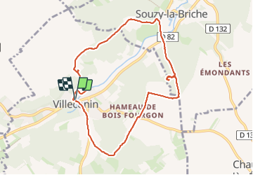
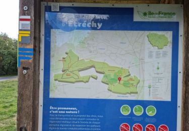
Tocht Stappen van 8,5 km beschikbaar op Île-de-France, Essonne, Villeconin. Deze tocht wordt voorgesteld door guydu41.
Petit circuit sur des chemins au milieu des champs et sur des sentiers dans plusieurs bois.
Exploration du Château ruiné de la Grange dans le Bois de même nom.
Traversée de la Vallée de la Renarde avec de beaux points de vue.
Découverte d'un polissoir dans le Bois de la Guigneraie à la base d'un amas rocheux au fond d'une petite vallée. Il n'y a pas de sentier pour y accéder. Il faut suivre la trace GPS proposée.


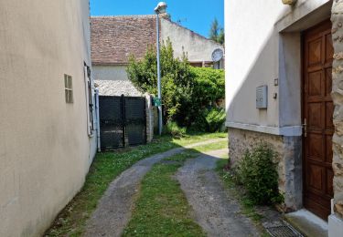
Stappen

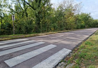
Stappen
Stappen
Stappen
Stappen
Stappen
Stappen
Stappen
Stappen