


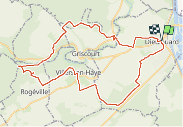

29 km | 35 km-effort


Gebruiker


Gratisgps-wandelapplicatie
 SityTrail
IGN / Geografische instituten
SityTrail World
De wereld gaat voor u open
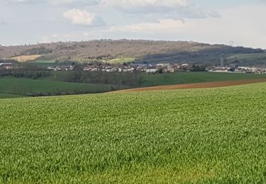
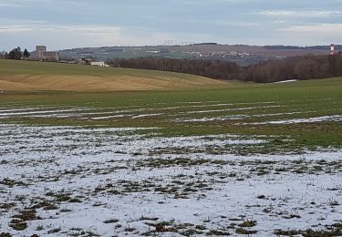
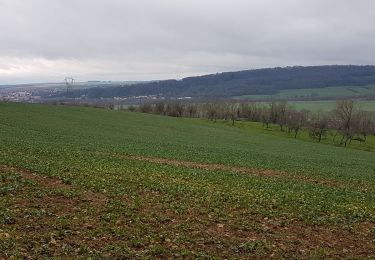
Tocht van 23 km beschikbaar op Grand Est, Meurthe-et-Moselle, Dieulouard. Deze tocht wordt voorgesteld door jiji543.
Fiets
Te voet

Fiets
Wegfiets
Te voet
Stappen
Stappen
Stappen
Stappen