


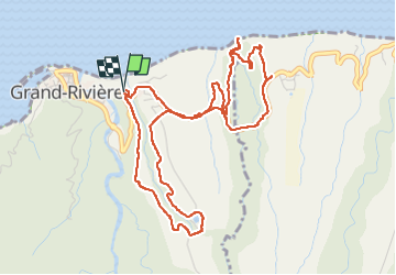

16,9 km | 29 km-effort


Gebruiker


Gratisgps-wandelapplicatie
 SityTrail
IGN / Geografische instituten
SityTrail World
De wereld gaat voor u open
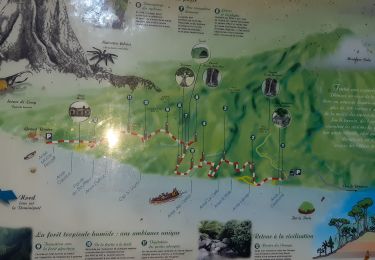
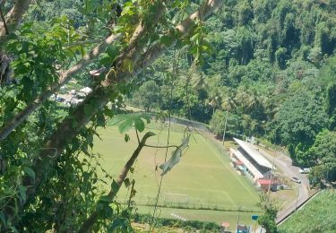
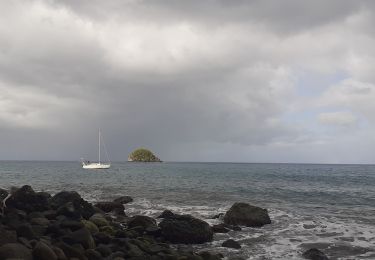
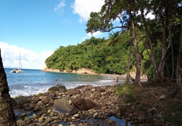
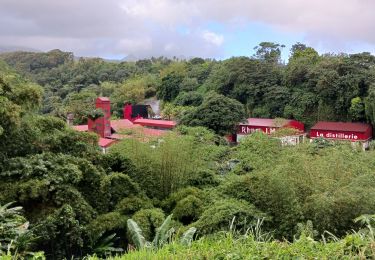
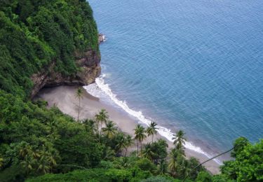
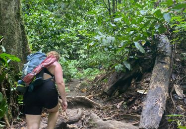
Tocht Stappen van 8,1 km beschikbaar op Martinique, Onbekend, Grand'Rivière. Deze tocht wordt voorgesteld door ginette972.
Stappen

Stappen
Stappen
Stappen
Stappen
Stappen
Stappen
Stappen
Stappen