


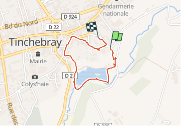


7,1 km | 8,5 km-effort

Gebruiker


Gratisgps-wandelapplicatie
 SityTrail
IGN / Geografische instituten
SityTrail World
De wereld gaat voor u open
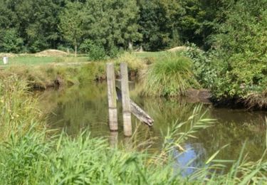
Tocht Stappen van 1,4 km beschikbaar op Normandië, Orne, Tinchebray-Bocage. Deze tocht wordt voorgesteld door svread.


Mountainbike

Stappen
Te voet
Stappen
Stappen

Te voet
Andere activiteiten

Stappen
Stappen