


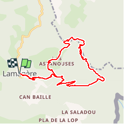

14,9 km | 25 km-effort

Gebruiker


Gratisgps-wandelapplicatie
 SityTrail
IGN / Geografische instituten
SityTrail World
De wereld gaat voor u open
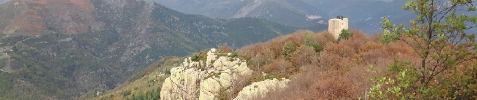
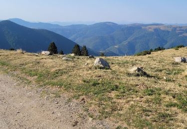
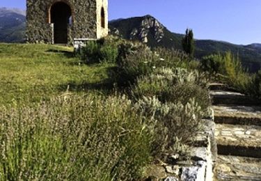
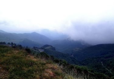
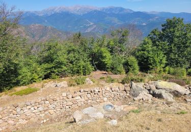
Tocht Stappen van 12 km beschikbaar op Occitanië, Pyrénées-Orientales, Lamanère. Deze tocht wordt voorgesteld door jcmartin.
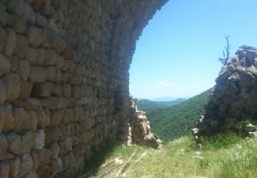
a certains endroits le sentier balisé est un peu différent du tracé de la carte IGN mais pas de soucis il suffit de suivre le balisage qui est très bien fait


Stappen
Stappen
Stappen
Stappen

Stappen
Mountainbike
Mountainbike
Mountainbike
Stappen