


17,8 km | 23 km-effort
Andenne : Entdecken Sie die besten Touren : 38 zu fuß, 269 wandern, 17 nordic walking, 10 laufen und 13 pfad. Alle diese Touren, Trails, Routen und Outdoor-Aktivitäten sind in unseren SityTrail-Apps für Smartphones und Tablets verfügbar.
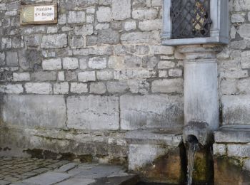
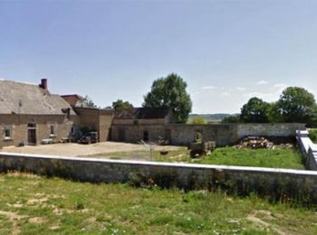
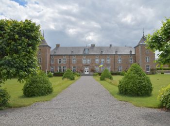
Wandern


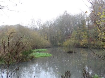
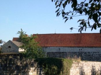
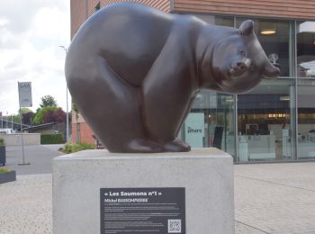
Wandern
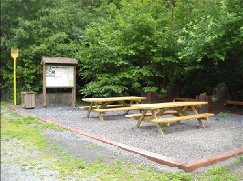
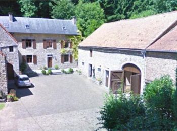
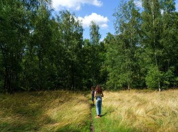
Wandern
• Jetez-vous à l’eau et découvrez Goyet d’une manière différente….D’une chapelle à une géocache, d’une géocache à une p...
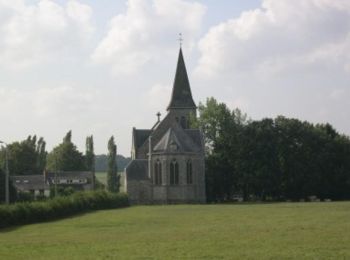
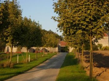
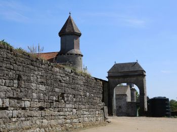
Wandern
Wandern
Wandern

Wandern

Wandern
Wandern

Wandern
Wandern

Wandern

Pfad
Wandern
Wandern

Zu Fuß
• Trail created by Vallée de la Meuse Namur-Dinant.

Zu Fuß
• Trail created by Vallée de la Meuse Namur-Dinant.

Zu Fuß
• Trail created by Vallée de la Meuse Namur-Dinant.
Zu Fuß
• Trail created by Vallée de la Meuse Namur-Dinant.
Zu Fuß
• Trail created by Vallée de la Meuse Namur-Dinant.
20 Angezeigte Touren bei 344
Kostenlosegpshiking-Anwendung
 SityTrail
IGN / Geografische Institute
SityTrail World
Die Welt öffnet sich für Sie