


8,6 km | 10,1 km-effort
Landkreis Konstanz : Entdecken Sie die besten Touren : 7 zu fuß, 3 wandern, 1 laufen und 1 pfad. Alle diese Touren, Trails, Routen und Outdoor-Aktivitäten sind in unseren SityTrail-Apps für Smartphones und Tablets verfügbar.
Zu Fuß


• Trail created by Astronomische Vereinigung Kreuzlingen. Website: https://www.avk.space/clubdesk/www
Zu Fuß
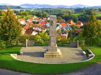
• Trail created by Hegau Tourismus e.V.. Symbol: stilisierte Hegaugipfel (gelb/blau/pink/grün) auf weißem Grund Webs...
Zu Fuß
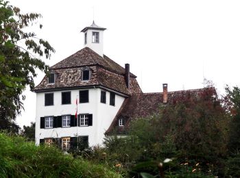
• Inselrundweg Reichenau
Zu Fuß
• Trail created by Schwarzwaldverein. Symbol: Blaue Raute auf weißem Grund

Zu Fuß
• Trail created by Hegau Tourismus e.V.. Symbol: stilisierte Hegaugipfel (gelb/blau/pink/grün) auf weißem Grund Webs...
Zu Fuß
• Symbol: gelbe Zahl auf weißem Grund

Zu Fuß
• Symbol: 4 Bunte Hegauberge auf weißem Hintergrund

Wandern
Wandern

Laufen
Wandern
Pfad
12 Angezeigte Touren bei 12
Kostenlosegpshiking-Anwendung
 SityTrail
IGN / Geografische Institute
SityTrail World
Die Welt öffnet sich für Sie