


48 km | 75 km-effort
Innimond : Entdecken Sie die besten Touren : 20 zu Fuß, 39 mit dem Fahrrad oder Mountainbike und 1 auf dem Pferderücken. Alle diese Touren, Trails, Routen und Outdoor-Aktivitäten sind in unseren SityTrail-Apps für Smartphones und Tablets verfügbar.
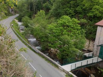
Mountainbike


Mountainbike
Wandern
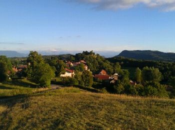
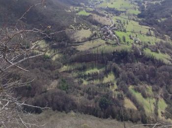
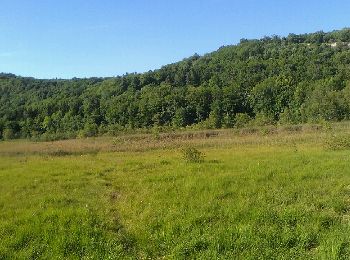
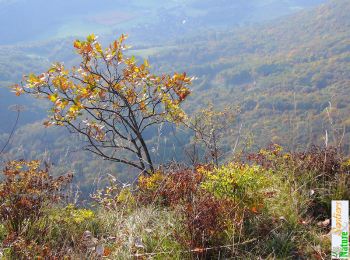
• Petite boucle à faire pour les marcheurs avec plusieurs point de vue intéressant sur chaque versant, compter 2h environ.
Mountainbike
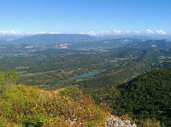
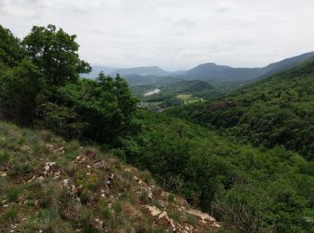
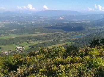
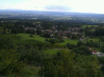
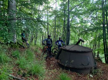
• Itinéraire intéressant car il privilégie les chemins et sentiers dont certains mériteraient un débroussaillage.
Mountainbike
Mountainbike
Mountainbike
Mountainbike
• circuit roulant
Mountainbike
Mountainbike

Wandern
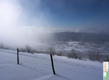
Schneeschuhwandern

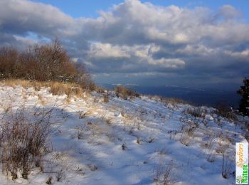
Wandern
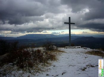
Wandern
Wandern
Wandern
Mountainbike
Mountainbike
Mountainbike
Elektrofahrrad
20 Angezeigte Touren bei 63
Kostenlosegpshiking-Anwendung
 SityTrail
IGN / Geografische Institute
SityTrail World
Die Welt öffnet sich für Sie