


3,8 km | 5,5 km-effort
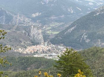
Castellane : Entdecken Sie die besten Touren : 136 zu Fuß, 29 mit dem Fahrrad oder Mountainbike und 1 auf dem Pferderücken. Alle diese Touren, Trails, Routen und Outdoor-Aktivitäten sind in unseren SityTrail-Apps für Smartphones und Tablets verfügbar.

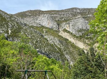
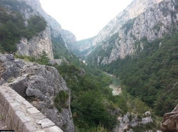
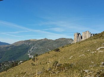
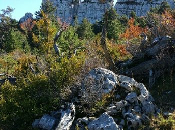
Wandern


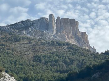
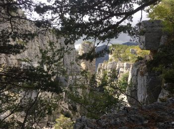
• Sentier original. Thématique sur les roches et les fossiles mis en place par la réserve géologique. Très beaux aména...
Wandern

Wandern
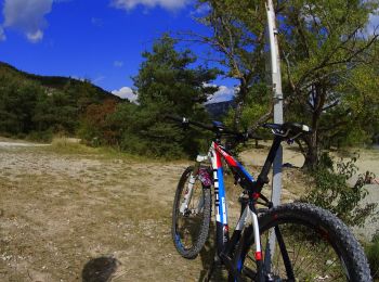
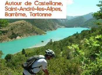
Mountainbike
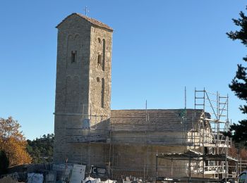
Wandern
Wandern
Wandern
Wandern
Wandern
Wandern
Wandern
Wandern
Wandern
Wandern
Wandern
Wandern
Motorrad
Wandern
• Rando avec Pierre
Wandern
• avec Patricia
Mountainbike
20 Angezeigte Touren bei 170
Kostenlosegpshiking-Anwendung
 SityTrail
IGN / Geografische Institute
SityTrail World
Die Welt öffnet sich für Sie