


30 km | 39 km-effort
Le Hom : Entdecken Sie die besten Touren : 2 fahrrad, 15 mountainbike, 2 radtourismus und 1 elektrofahrrad. Alle diese Touren, Trails, Routen und Outdoor-Aktivitäten sind in unseren SityTrail-Apps für Smartphones und Tablets verfügbar.
Mountainbike


Mountainbike
Mountainbike

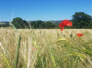
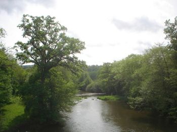
Radtourismus
Mountainbike
• Jour 2/14 d'une rando Cabourg-Bordeaux. Sur l'ensemble du parcours, la majorité du tracé est en macadam avec plusieur...
Fahrrad
• 5 jours, direction Ouistreham ou nous sommes resté 2 nuits, Une baignade en Mer s'impose, Visite du Port et Vu un gro...
Mountainbike
• Jour 7/9 d'une randonnée Verviers - Bretagne. Aussi souvent que possible sur petites routes et chemins. Certains pass...
Mountainbike
• le départ est brutal, voir méchant... les premiers kilomètres pique un peu. a essayer dans l'autre sens.
Mountainbike
• Boucle thury harcourt Cossesseville thury.
Mountainbike
• le départ est brutal, voir méchant... les premiers kilomètres pique un peu. a essayer dans l'autre sens.
Mountainbike
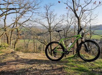
• Espace VTT-FFC Suisse Normande N°3 Départ : Thury-Harcourt - Base de Canoë-Kayak Dénivelé+: 802m
Mountainbike
Radtourismus
Fahrrad
Elektrofahrrad
Mountainbike
Mountainbike
Mountainbike
Mountainbike
Mountainbike
20 Angezeigte Touren bei 20
Kostenlosegpshiking-Anwendung
 SityTrail
IGN / Geografische Institute
SityTrail World
Die Welt öffnet sich für Sie