


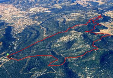
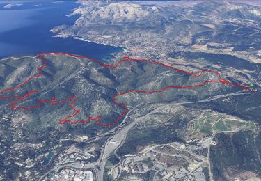
16,5 km | 24 km-effort

Benutzer


Kostenlosegpshiking-Anwendung
 SityTrail
IGN / Geografische Institute
SityTrail World
Die Welt öffnet sich für Sie
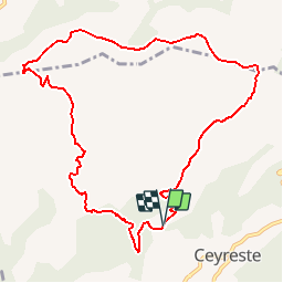
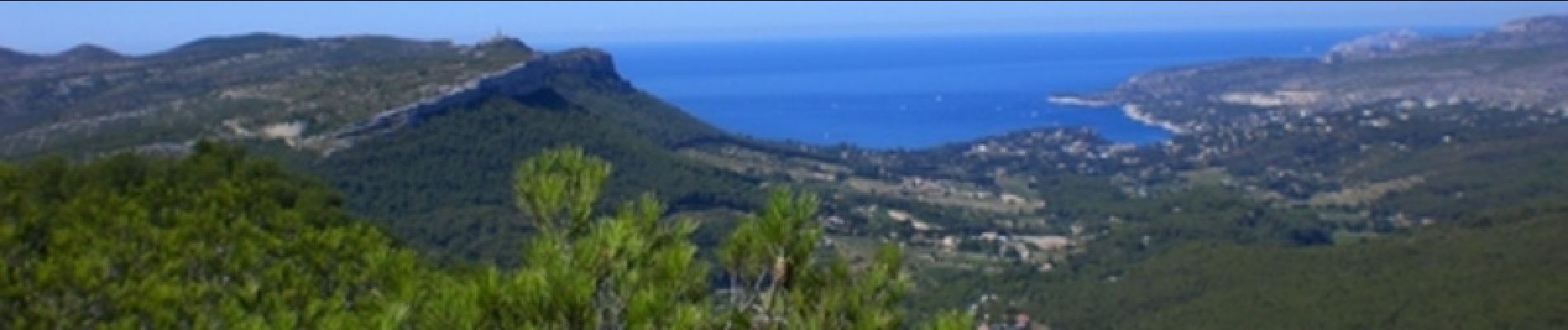
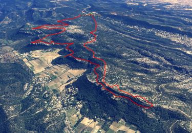
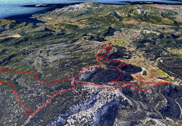
Tour Wandern von 11,3 km verfügbar auf Provence-Alpes-Côte d'Azur, Bouches-du-Rhône, Ceyreste. Diese Tour wird von tracegps vorgeschlagen.
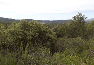
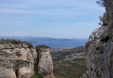
La première partie en montée continue est un peu longue. Le chemin est agréable. Difficulté moyenne. Retrouvez d’autres informations sur le site de Rando Loisirs à Carnoux en Provence.

Wandern
Wandern
Wandern
Wandern
Wandern
Wandern

Wandern

Wandern
Wandern