


27 km | 30 km-effort


Benutzer


Kostenlosegpshiking-Anwendung
 SityTrail
IGN / Geografische Institute
SityTrail World
Die Welt öffnet sich für Sie
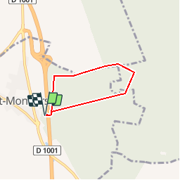
Tour Wandern von 4,1 km verfügbar auf Nordfrankreich, Somme, Forest-Montiers. Diese Tour wird von tracegps vorgeschlagen.
Trois balades en forêt de Crécy pour découvrir sa richesse et sa diversité :les enclaves, les grands hêtres et les galandeaux. La Somme : Sports et nature envoyé par CG80 Pour télécharger la fiche du circuit en format pdf. Partez à la découverte de la Côte Picarde et de la Baie de Somme à travers 38 promenades et randonnées pédestres.


Mountainbike
Mountainbike
Andere Aktivitäten
Fahrrad
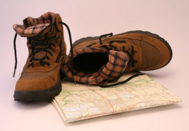
Wandern

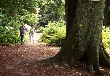
Wandern
Wandern

Wandern
Wandern