


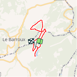


5,7 km | 8,8 km-effort


Benutzer


Kostenlosegpshiking-Anwendung
 SityTrail
IGN / Geografische Institute
SityTrail World
Die Welt öffnet sich für Sie
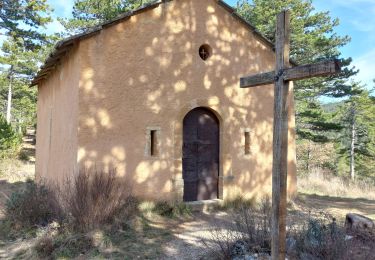
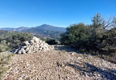
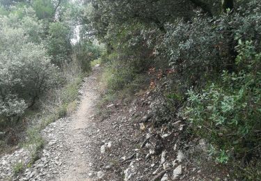
Tour Wandern von 5,5 km verfügbar auf Provence-Alpes-Côte d'Azur, Vaucluse, Caromb. Diese Tour wird von reglef vorgeschlagen.
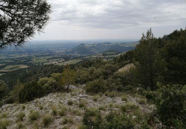
Le lac du Paty
Wandern

Wandern

Laufen

Wandern
Wandern
Wandern
Wandern
Wandern
Wandern