


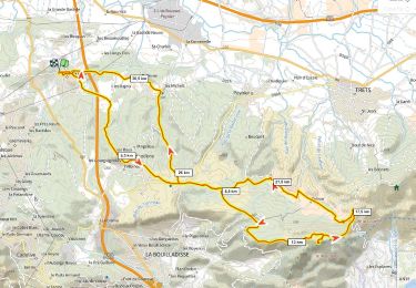
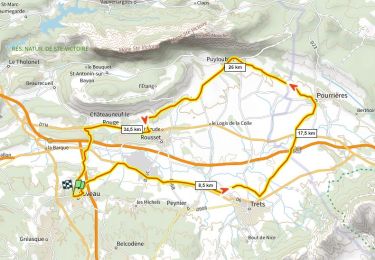
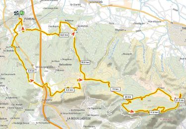
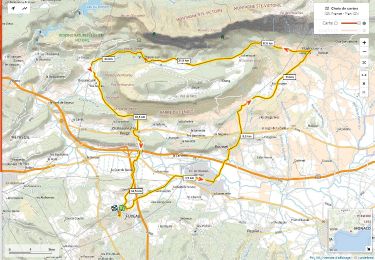
33 km | 43 km-effort


Benutzer


Kostenlosegpshiking-Anwendung
 SityTrail
IGN / Geografische Institute
SityTrail World
Die Welt öffnet sich für Sie
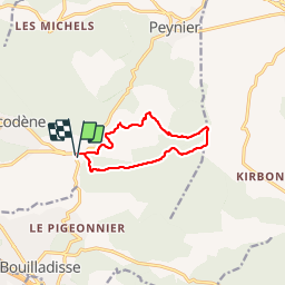
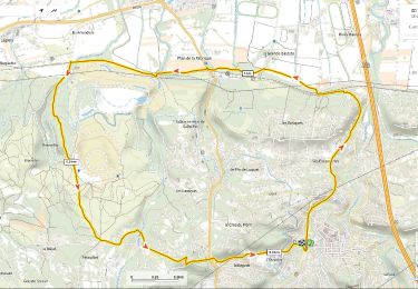
Tour Wandern von 9,9 km verfügbar auf Provence-Alpes-Côte d'Azur, Bouches-du-Rhône, Belcodène. Diese Tour wird von phidge vorgeschlagen.
P1 T1 Facile faible dénivelé, sur petit sentier, belles vues, point de vue dégagé, passage a proximité d'habitation sans problème.
Mountainbike
Wandern
Mountainbike
Rennrad
Mountainbike
Wandern
Rennrad
Mountainbike
Rennrad