


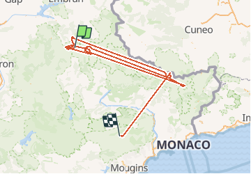


11,9 km | 16,6 km-effort


Benutzer


Kostenlosegpshiking-Anwendung
 SityTrail
IGN / Geografische Institute
SityTrail World
Die Welt öffnet sich für Sie
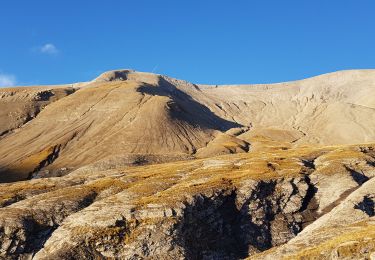
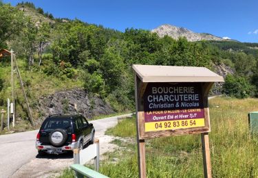
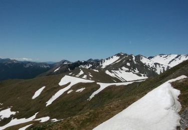
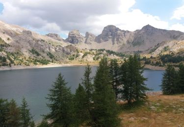
Tour Andere Aktivitäten von 324 km verfügbar auf Provence-Alpes-Côte d'Azur, Alpes-de-Haute-Provence, Allos. Diese Tour wird von Dumarche vorgeschlagen.

Mountainbike
Wandern
Wandern
Wandern
Wandern
4x4
Wandern

Wandern
Wandern