


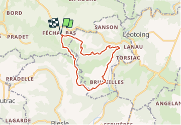

12,4 km | 18,4 km-effort

Benutzer GUIDE


Kostenlosegpshiking-Anwendung
 SityTrail
IGN / Geografische Institute
SityTrail World
Die Welt öffnet sich für Sie
Tour Wandern von 12,4 km verfügbar auf Auvergne-Rhone-Alpen, Puy-de-Dôme, Apchat. Diese Tour wird von jagarnier vorgeschlagen.
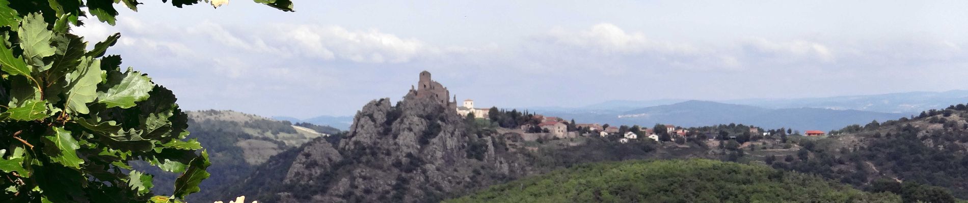
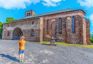
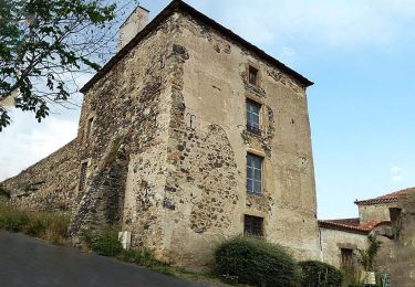
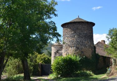
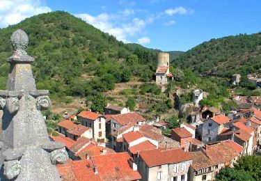
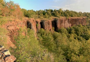
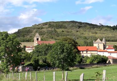
Des chemins pour surprendre au delà de l'Alagnon, la forteresse de Léotoing et les vallées de l'Auze et de la Bave. Un hors circuit est conseillé vers le village de Bousselargues et son église.

Zu Fuß
Zu Fuß
Zu Fuß

Fahrrad
Wandern
Wandern
Wandern
Wandern
Wandern