


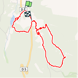

19,2 km | 27 km-effort

Benutzer


Kostenlosegpshiking-Anwendung
 SityTrail
IGN / Geografische Institute
SityTrail World
Die Welt öffnet sich für Sie
Tour Wandern von 5,9 km verfügbar auf Provence-Alpes-Côte d'Azur, Bouches-du-Rhône, Saint-Rémy-de-Provence. Diese Tour wird von rando1952 vorgeschlagen.

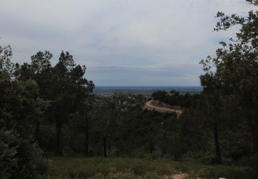
Wandern

Wandern
Mountainbike
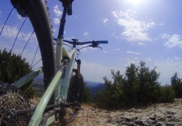
Mountainbike
Mountainbike

Kutsche fahren

Wandern
Wandern
Wandern
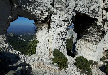
nous n'avons fait que la boucle du mont gaussien et elle est très jolie à faire avec de beaux points de vue
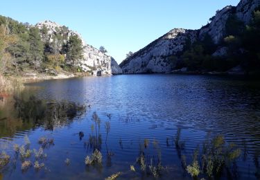
Belle balade variée avec quelques passages excitants. Nous avons appréciés d'avoir nos chaussures de marches et nos bâtons pour les passages raides et caillouteux. Nous avons commencé avec le rocher des deux trous et avons terminé avec un picnic sur les bords du lac de Pérou.