


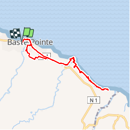

13,2 km | 16,5 km-effort


Benutzer GUIDE


Kostenlosegpshiking-Anwendung
 SityTrail
IGN / Geografische Institute
SityTrail World
Die Welt öffnet sich für Sie
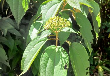
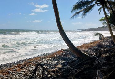
Tour Wandern von 11,1 km verfügbar auf Martinique, Unbekannt, Basse-Pointe. Diese Tour wird von Lamartiniere vorgeschlagen.
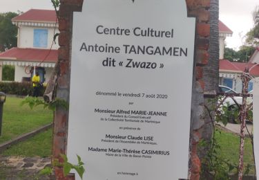
Rando partant d' Hbt Gradis vers Hbt La Capot en famille, circuit par Ville de Basse-Pointe, hbt Eyma, hbt Moulin l'Étang, hbt Pecoul, hbt Chalvet, Stèle Février 74 sur hbt La Capot et retour par même circuit.
Wandern
Wandern
Wandern
Wandern
Wandern
Wandern
Wandern
Wandern
Wandern