


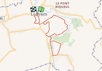

13,7 km | 14,3 km-effort


Benutzer


Kostenlosegpshiking-Anwendung
 SityTrail
IGN / Geografische Institute
SityTrail World
Die Welt öffnet sich für Sie
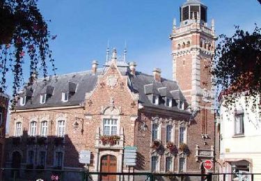
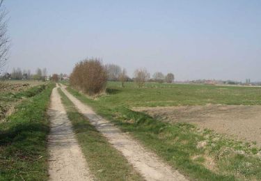
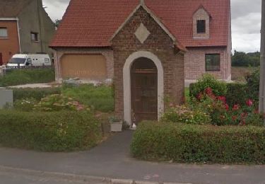
Tour Zu Fuß von 7,7 km verfügbar auf Nordfrankreich, Pas-de-Calais, Lestrem. Diese Tour wird von Blourouce vorgeschlagen.
Wandern
Wandern
Wandern
Wandern
Wandern
Wandern
Wandern
Wandern
Wandern