


25 km | 32 km-effort


Benutzer


Kostenlosegpshiking-Anwendung
 SityTrail
IGN / Geografische Institute
SityTrail World
Die Welt öffnet sich für Sie
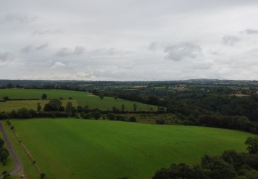
Tour Wandern von 22 km verfügbar auf Normandie, Calvados, Souleuvre-en-Bocage. Diese Tour wird von albers vorgeschlagen.
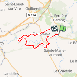
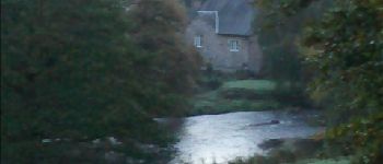
Belle randonnée dans la vallée de la vire.super petit chemin.
le temps affiché est vraiment celui ce que j'ai fait, 5 heure.
départ à 7h15 de campeaux (frontale oblige pendant une bonne heure)
"a vous de jouer".


Mountainbike
Wandern
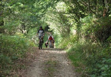
Mountainbike

Wandern
Radtourismus
Wandern
Wandern
Radtourismus
Wandern