Tour Wandern Neaufles-Saint-Martin - Neaufles St Martin, Inval, Beausséré, Mauréaumont,  Courcelles les Gisors - Photo

Neaufles St Martin, Inval, Beausséré, Mauréaumont, Courcelles les Gisors

© OpenStreetMap contributors
Länge
Länge
7,7 km
Maximale Höhe
Maximale Höhe
98 m
Positive Höhendifferenz
90 m
Km-Effort
Km-Effort  
8,9 km
Min. Höhe
Min. Höhe
43 m
Negative Höhendifferenz
91 m
Boucle
Boucle
Ja
Erstellungsdatum :
2020-07-21 06:55:23.528
Letzte Änderung :
2020-07-25 07:48:25.296

(0 Nachricht)

Wandern
Wandern
2h06
Schwierigkeit : Medium

Scannen Sie diesen QR-Code, um die Tour in der SityTrail-Anwendung zu öffnen

Kostenlosegpshiking-Anwendung

Logo SityTrail SityTrail

IGN / Geografische Institute

SityTrail aus dem App Store herunterladen SityTrail von Google Play herunterladen

Logo SityTrail SityTrail World

Die Welt öffnet sich für Sie

SityTrail aus dem App Store herunterladen SityTrail von Google Play herunterladen SityTrail auf Huawei AppGallery herunterladen

Über SityTrail

Tour Wandern von 7,7 km verfügbar auf Normandie, Eure, Neaufles-Saint-Martin. Diese Tour wird von Marie-Claire-mcp vorgeschlagen.

Beschreibung

Départ du parking d'Inval sur la voie verte entre Neaufles St Martin et Courcelles les Gisors, prendre la voie verte juqu'à Beausséré, prendre la route à gauche jusqu'à Mauréaumont puis en face et suivre cette route qui devient chemin à la sortie du village et pars vers Courcelles les Gisors. redescendre dans le village, passer devant l'église et le lavoir et continuer cette route après les feux tricolores tout droit, jusqu'à l'Epte, prendre le chemin de gauche et aller jusqu'à la voie verte et revenir au parking.

Höhenprofil

Foto-Galerie

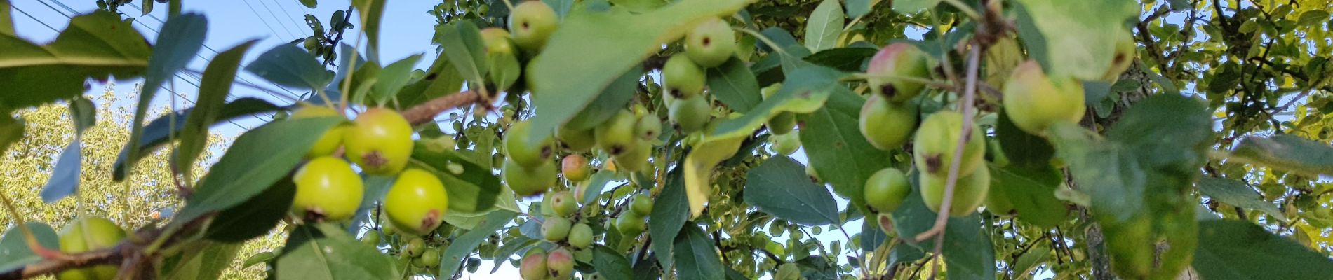
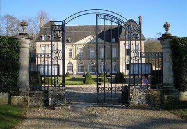
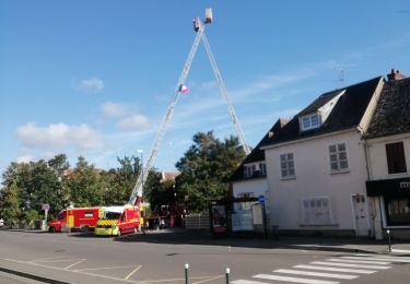
28 Fotos insgesamt. Klicken Sie auf ein Foto, um sie alle in der Galerie zu sehen.

Ort

Land:
France
Region :
Normandie
Abteilung/Provinz :
Eure
Kommune :
Neaufles-Saint-Martin
Standort:
Unknown
Gehen Sie:(UTM)
408392 ; 5458307 (31U) N.

Touren in der Umgebung

Tour Wandern Boury-en-Vexin - Boury en Vexin - Hérouval - Photo
Wandern
marcel.F

Wandern

Einfach
(3)
Boury-en-Vexin, Nordfrankreich, Oise, France
10,9 km | 12,9 km-effort
2h 49min
Ja
Tour Wandern Vaudancourt - Vaudancourt - Breuil et Boury - Photo
Wandern
marcel.F

Wandern

Einfach
(1)
Vaudancourt, Nordfrankreich, Oise, France
11,8 km | 14,3 km-effort
3h 5min
Ja
Tour Wandern Bézu-Saint-Éloi - Bézu Saint Eloi - Départ du parking route de Gisors (place St Eloi), puis Neaufles St martin - Photo
Wandern
Marie-Claire-mcp

Wandern

Medium
(1)
Bézu-Saint-Éloi, Normandie, Eure, France
10,3 km | 12 km-effort
2h 43min
Ja
Tour Wandern Noyers - Noyers - Vesly et ND du chêne - Photo
Wandern
marcel.F

Wandern

Medium
(1)
Noyers, Normandie, Eure, France
13,6 km | 16,5 km-effort
2h 30min
Ja
Tour Nordic Walking Bézu-Saint-Éloi - Marche Nordique 89  Bezu Saint Eloi - Photo
Nordic Walking
marcel.F

Nordic Walking

Einfach
(1)
Bézu-Saint-Éloi, Normandie, Eure, France
8,6 km | 10 km-effort
1h 30min
Ja
Tour Nordic Walking Boury-en-Vexin - Marche Nordique 75 Boury en Vexin - Photo
Nordic Walking
marcel.F

Nordic Walking

Einfach
(1)
Boury-en-Vexin, Nordfrankreich, Oise, France
10,3 km | 12,6 km-effort
1h 30min
Ja
Tour Nordic Walking Courcelles-lès-Gisors - Marche Nordique 71 Courcelles les Gisors - Photo
Nordic Walking
marcel.F

Nordic Walking

Sehr leicht
(2)
Courcelles-lès-Gisors, Nordfrankreich, Oise, France
9,2 km | 10,9 km-effort
1h 26min
Ja
Tour Wandern Guerny - Gisancourt - Notre Dame du Chêne - Photo
Wandern
marcel.F

Wandern

Einfach
(2)
Guerny, Normandie, Eure, France
11,6 km | 13,9 km-effort
3h 2min
Ja
Tour Wandern Gisors - gisors champêtre et historique  - Photo
Wandern
serge.guerroult

Wandern

Schwierig
Gisors, Normandie, Eure, France
12,1 km | 13,6 km-effort
2h 13min
Ja


Schließen
Meine Abonnements