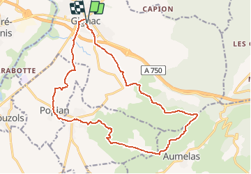

9,5 km | 12 km-effort


Benutzer


Kostenlosegpshiking-Anwendung
 SityTrail
IGN / Geografische Institute
SityTrail World
Die Welt öffnet sich für Sie
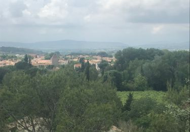
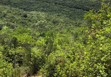
Tour Wandern von 20 km verfügbar auf Okzitanien, Hérault, Gignac. Diese Tour wird von RandoVal vorgeschlagen.
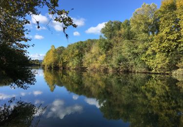
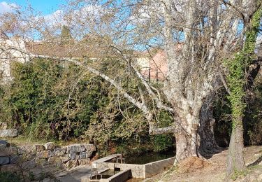
Boucle entre vignes et garrigues, stationnement et départ place du jeu de ballon à Gignac, pas le samedi : Marché. Sens horaire. A voir la tour du télégraphe de Chappe.

Wandern
Wandern
Wandern

Wandern
Wandern

Wandern
Wandern