


18,8 km | 24 km-effort


Benutzer


Kostenlosegpshiking-Anwendung
 SityTrail
IGN / Geografische Institute
SityTrail World
Die Welt öffnet sich für Sie
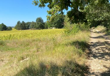
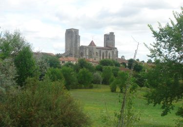
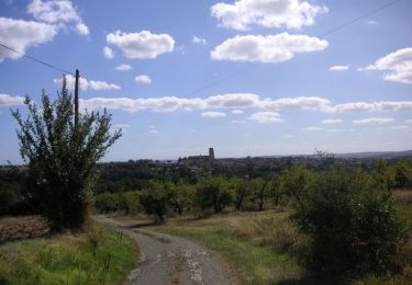
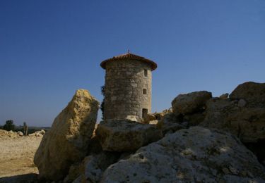
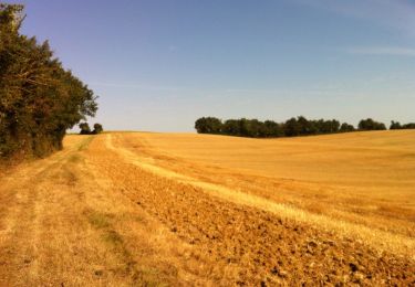
Tour Wandern von 13,7 km verfügbar auf Okzitanien, Gers, Castelnau-d'Arbieu. Diese Tour wird von philou6351 vorgeschlagen.
Wandern
Wandern
Mountainbike
Wandern

Wandern
Mountainbike
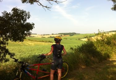
Mountainbike
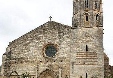
Wandern
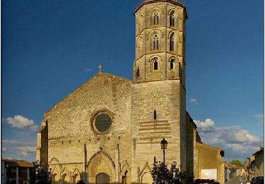
Wandern