


20-05-14

cmike39
Benutzer
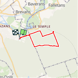

Länge
9,9 km

Maximale Höhe
253 m

Positive Höhendifferenz
131 m
Km-Effort
11,6 km

Min. Höhe
219 m

Negative Höhendifferenz
131 m
Boucle
Ja
Erstellungsdatum :
2015-05-31 00:00:00.0
Letzte Änderung :
2019-05-13 19:01:47.799
2h03
Schwierigkeit : Unbekannt

Kostenlosegpshiking-Anwendung
 SityTrail
IGN / Geografische Institute
SityTrail Plus
Die Welt öffnet sich für Sie
Über SityTrail
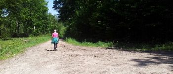
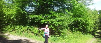
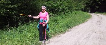
Tour Nordic Walking von 9,9 km verfügbar auf Burgund und Freigrafschaft, Jura, Dole. Diese Tour wird von cmike39 vorgeschlagen.
Beschreibung
test
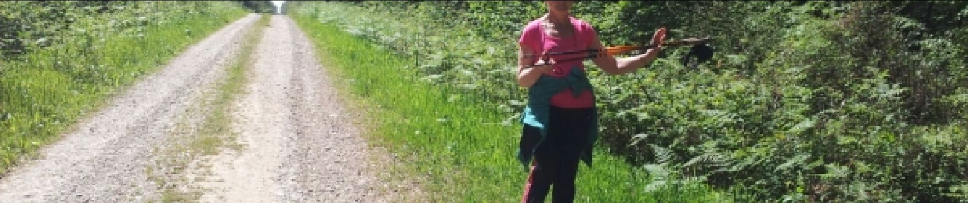
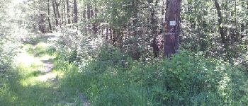
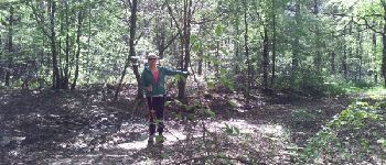
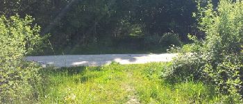
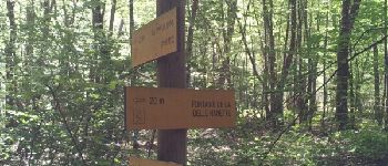
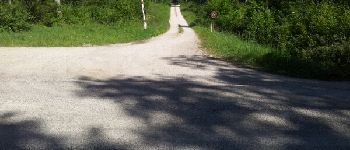
Foto-Galerie


Ort
Land:
France
Region :
Burgund und Freigrafschaft
Abteilung/Provinz :
Jura
Kommune :
Dole
Standort:
Unknown
Gehen Sie:(Dec)
Gehen Sie:(UTM)
691383 ; 5216643 (31T) N.
Kommentare