


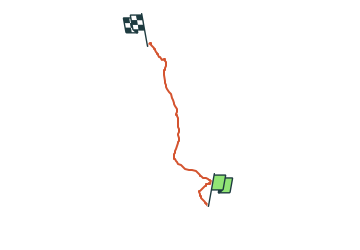

9,6 km | 13,5 km-effort

Tous les sentiers balisés d’Europe PRO


Kostenlosegpshiking-Anwendung
 SityTrail
IGN / Geografische Institute
SityTrail World
Die Welt öffnet sich für Sie
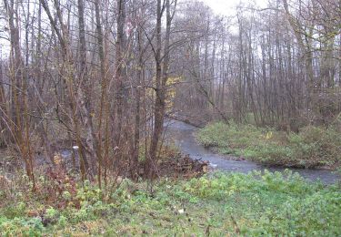
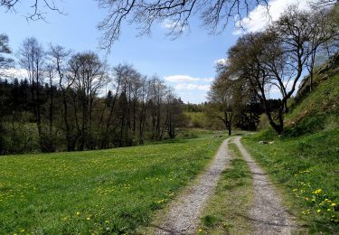
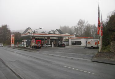
Tour Zu Fuß von 5,1 km verfügbar auf Nordrhein-Westfalen, Kreis Soest, Warstein. Diese Tour wird von SityTrail - itinéraires balisés pédestres vorgeschlagen.
Trail created by Stadtmarketing Warstein.


Zu Fuß
Zu Fuß
Zu Fuß
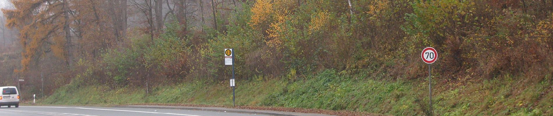
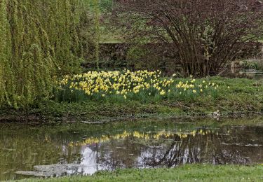
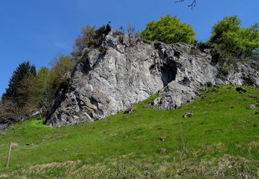
![Tour Zu Fuß Unbekannt - [O] Belecker Rundweg - Photo](https://media.geolcdn.com/t/375/260/ext.jpg?maxdim=2&url=https%3A%2F%2Fmedia.geolcdn.com%2Ff%2F4441d898-30d6-49a1-90b9-d313b5f874d3.jpeg)
Zu Fuß
Zu Fuß

Zu Fuß
Zu Fuß
Zu Fuß
Zu Fuß