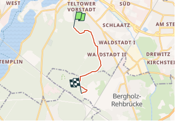

8,6 km | 9,8 km-effort


Tous les sentiers balisés d’Europe PRO


Kostenlosegpshiking-Anwendung
 SityTrail
IGN / Geografische Institute
SityTrail World
Die Welt öffnet sich für Sie
Tour Zu Fuß von 5,2 km verfügbar auf Brandenburg, Potsdam. Diese Tour wird von SityTrail - itinéraires balisés pédestres vorgeschlagen.
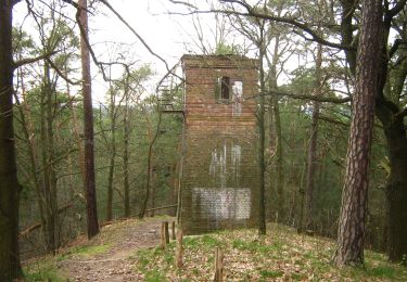
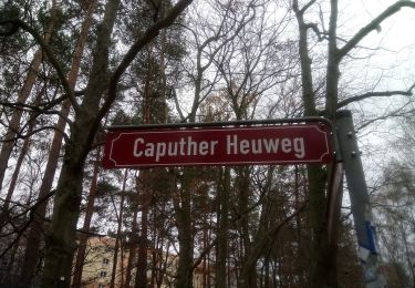
lückenhaft - Wegführung über höherpriorisierte markierte Wege?


Zu Fuß
Zu Fuß
Zu Fuß
Zu Fuß
Zu Fuß
Zu Fuß