


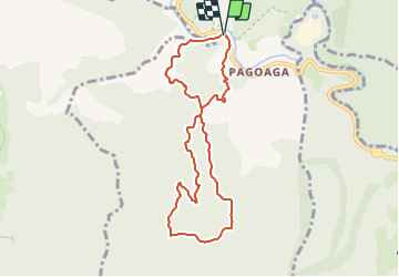

6,9 km | 10,3 km-effort

Tous les sentiers balisés d’Europe PRO


Kostenlosegpshiking-Anwendung
 SityTrail
IGN / Geografische Institute
SityTrail World
Die Welt öffnet sich für Sie
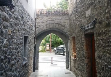
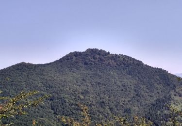
Tour Zu Fuß von 8,7 km verfügbar auf Autonome Gemeinschaft Baskenland, Gipuzkoa, Hernani. Diese Tour wird von SityTrail - itinéraires balisés pédestres vorgeschlagen.
Trail created by Hernaniko Udala.


Zu Fuß
Zu Fuß
Zu Fuß

Zu Fuß
Zu Fuß
Zu Fuß
Zu Fuß
