


Alta Via n. 1 della Valle d'Aosta - Tappa 13

SityTrail - itinéraires balisés pédestres
Tous les sentiers balisés d’Europe GUIDE+


3h28
Schwierigkeit : Einfach

Kostenlosegpshiking-Anwendung
 SityTrail
IGN / Geografische Institute
SityTrail Plus
Die Welt öffnet sich für Sie
Über SityTrail
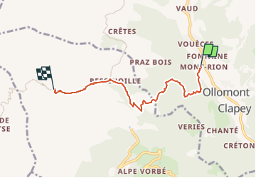
Tour Zu Fuß von 4,9 km verfügbar auf Aostatal, Unbekannt, Ollomont. Diese Tour wird von SityTrail - itinéraires balisés pédestres vorgeschlagen.
Beschreibung
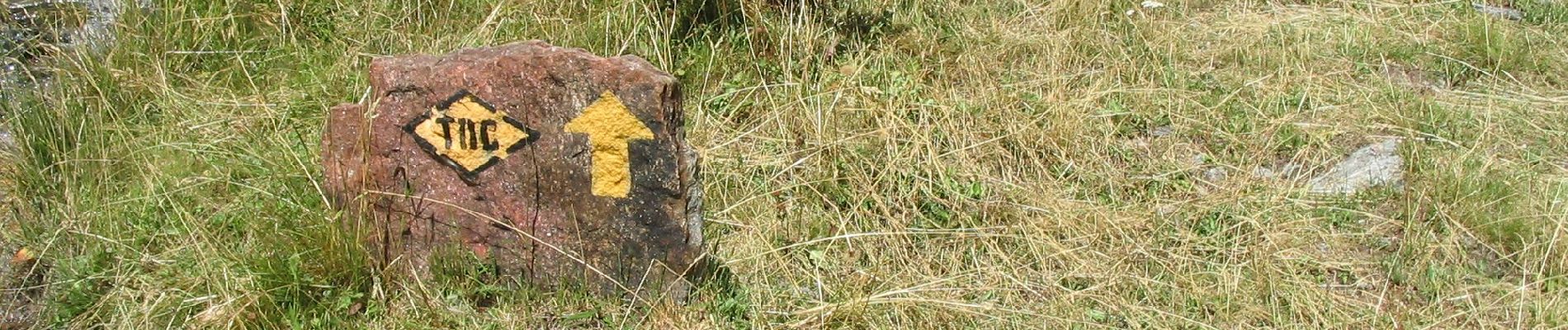
Rey (Ollomont) - Rifugio Létey-Champillon Alte Vie
Website: http://www.lovevda.it/it/banca-dati/7/alte-vie/valle-d-aosta/rey-ollomont-rifugio-letey-champillon/2988
Foto-Galerie


Ort
Kommentare